InforShell
|
|
InforShell |
|
Services to fill large DEM holes |
|
About DEM 90m (SRTM3) data
DEM 90m (abbreviation) is a dataset that is a global terrain Digital Elevation Model excluding polar regions. At 90m horizontal resolution, each data point represents the elevation of a 90m x 90m area of land surface. The original dataset is provided by NASA, composed of individual data files (tiles) each covering an area 1 degree longitude x 1 degree lattitude.
Due to various limitations in the remote sensing technique:
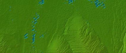
Inspection of files exhibiting data holes show that they occur significantly in areas under long term snow, ice, and water coverage. These holes reduce and limit the readability and usefulness of DEM 90m.
|
|
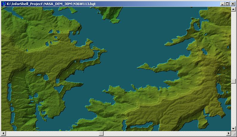
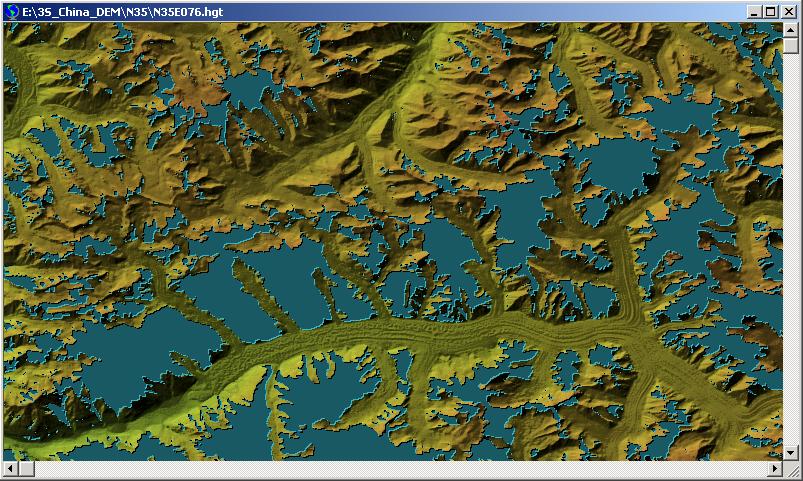 Figure 2. A region in the DEM 90m dataset exhibiting concentrated large data holes, shown as blue areas. (Shaded relief false color visualization.) Global Coverage (~90m) Version 2, file name N35E076.hgt
|
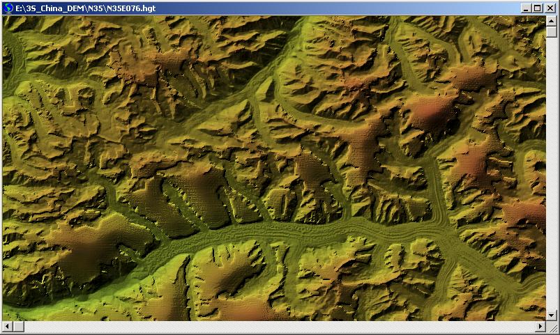 Figure 3. Output after hole filling processing, same area as shown in Figure 2. (Shaded relief false color visualization.)
|
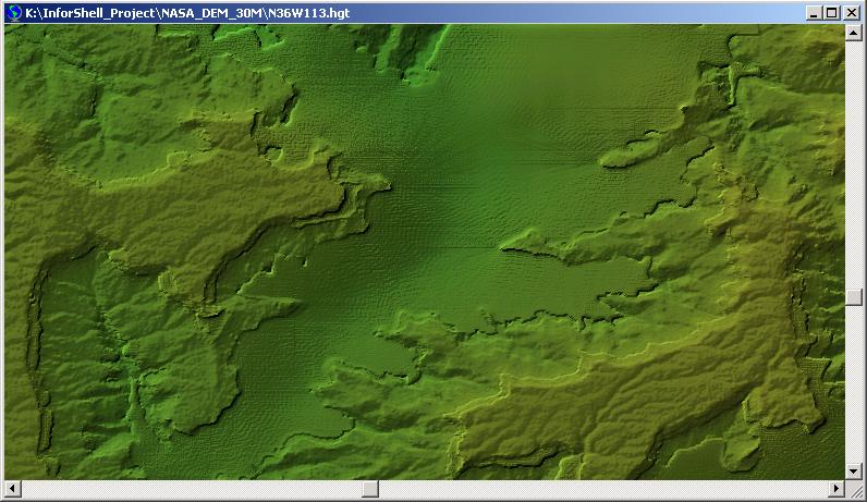 Figure 5. Output after hole filling processing, same area as shown in Figure 4. (Shaded relief false color visualization.)
|
|
|