Canada
|
|
InforShell Technologies Canada |
|
Mosaicing of customer selected DEM 90m files into visual DEM database |
|
About DEM 90m data files
The original Digital Elevation Model dataset is provided by NASA, composed of individual data files (tiles) each covering an area of 1 degree longitude x 1 degree lattitude.
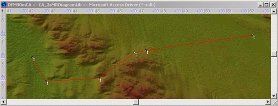
When working with elevations of an area larger than 1 deg x 1 deg, mosaicing together several (N x M) DEM 90m tiles is necessary.
1. Create a Visual DEM Database (VisualDEMdb) for customer.
InforShell has experience mosaicing over a thousand DEM 90m tiles into a single VisualDEMdb, to cover a large country.
According to customer request, InforShell will mosaic any quantity of tiles to cover a custom area, province or country in the world.
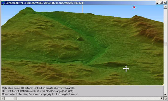
1. Using the eEarth browser with VisualDEMdb, you can view a continuous false or true color image of the customer area at 90m ground resolution (3 arc-seconds), and have cursor point readout for longitude, latitude, and elevation (at 1m vertical resolution).
|
System requirements
No installation required for VisualDEMdb and eEarth.
Supported systems: MS Windows 98/NT/2000/Me/XP/Windows7[*].
Typical mosaic processing cost for each 1 deg x 1 deg DEM tile is $250CAD. For LAN multi-user license, or other conditions that may need a custom quote, please contact us at sales@inforshells.com
Canada 3D DEM 90m demo (5MB zip file).
To facilitate downloading the demo (which contains an executable in the archive), the extension of eEarth.exe was changed to eEarth.txt. After unzipping the downloaded file, please rename eEarth.txt back to eEarth.exe. 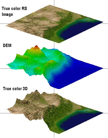 Figure1: Image & DEM data
|
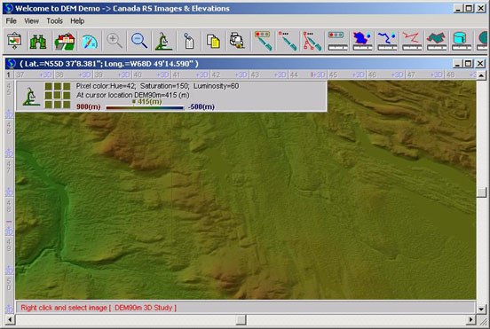 Figure 2: Shaded relief false color 2D visualiation of DEM 90m elevation data, showing hilly Canadian terrain
|
|
|